MARAGONDON RIVER
Researched By:
Dindo Mojica, C.E., M.Eng
Resident of Maragondon, Cavite(note: currently updating)
Maragondon River
The name of the town of Maragondon got its name from this river with its cascading sound or "dagundong". This is where the first settlers of Maragondon (Malays and Indonesians) settled their first community in as early as 1591.
Maragondon River is one of the six major rivers of Cavite Province, which has a big potential for future water supply provision. The said river originates from multi-sources from the neighboring upland municipalities, namely: General Aguinaldo, Magallanes, Alfonso and Indang passing through different tributaries towards the common outlet, Manila Bay.
Maragondon River has an approximate length of thirty five point six (35.6) kilometres having an average width of ten (10) meters.
Multi-sources:
a. Banaba Lejos (Indang) passing Pantihan 1 and 2. Tributaries are
1. Habulin River passing East Tambo to Banaba Lejos
2. From Palocpoc (Mendez) passing Lumampong and Banaba Lejos
b. Magay River to Maragondon River
c. Narvaez River (General Aguinaldo) passing Tabora to Maragondon River
1. Matagbak
2. Buruhan River (Alfonso) passing Sinaliw na Munti and Sinaliw na Malaki
d. Aliang River (Magallanes) starting from Kaytitinga (Alfonso) joined Narvaez River passing Tabora
e. Another river (unnamed) from west of Kaytitinga and Aliang River passing Magallanes and joined Tabora to Maragondon River
Surface Water
Maragondon River is one of the six major river basins of Cavite. It is one of the largest with total area of 357 square kilometers with and irrigable area of around five percent (5%). It receives a total of 850,000,000 cubic meters of water annually. This river, together with Salipit stream (Bucal 1 - Kapantayan) and Mambog River in Barangay Pinagsanhan and Malibiclibic River in Tulay serves as sources of water supply for domestic, agricultural and industrial purposes.
Coastal Resources
Maragondon River is still a healthy habitat for marine life such as fish, shrimp and seaweeds. Fishing in Maragondon River is limited in scope, as the fishery resources of the municipality are not yet fully tapped. Fish species include mackerel, nememterids, grouper, squid, tuna and hasa-hasa (Fresh water fishes).
National Irrigation Administration – Naic, Cavite
Maragondon Bulk Water Supply Brochure - http://www.horizon-global.com/maragondon.pdf
Maragondon River
Balayungan Dam


Photos courtesy of National Irrigation Administration Naic, Cavite
Along Malainen Luma - Pantihan 1 (via Pantihan Bridge)

Left Side (East)

Pantihan Bridge

Right Side (West)

Going to Pantihan 1-4 and Taywanak, Alfonso
Along Tulay-B - Pantihan 1 (via Bayanihan Bridge)


The Travelling Engineer

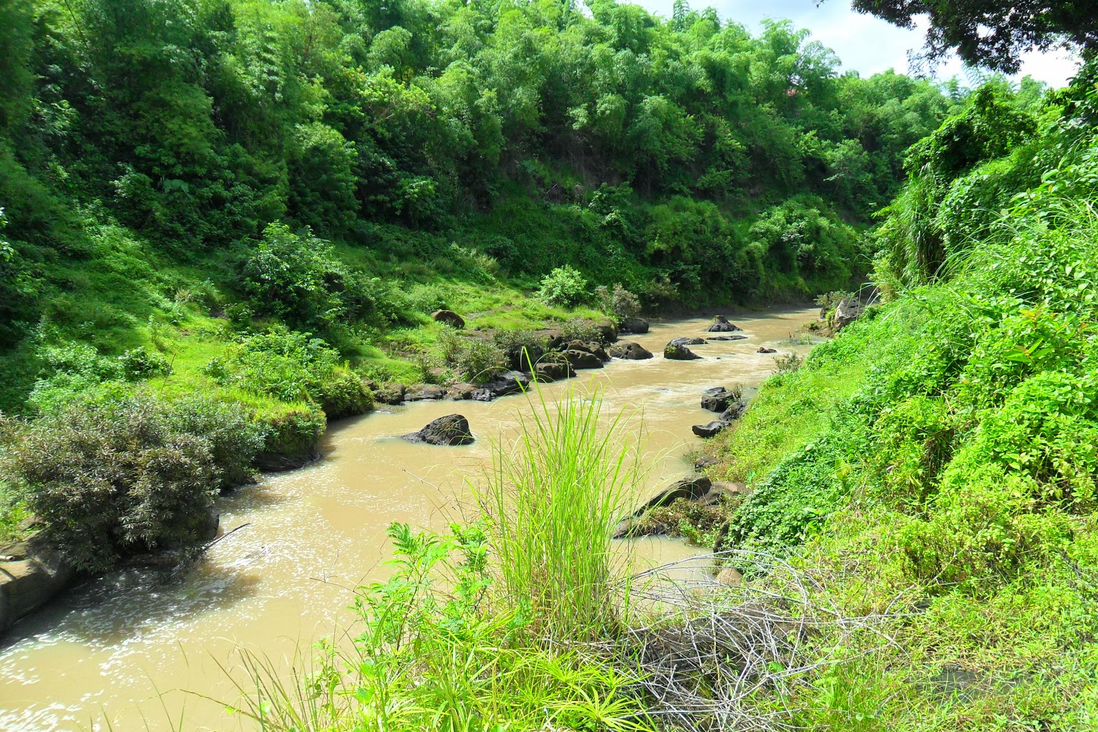
The Rock Formation along River Banks

Bayanihan Bridge


Along Tulay-B - Malainen Luma,Naic and Bucal 4, Maragondon (via Mabacao Bridge)

West Side


Mabacao Bridge

East Side
Along Bucal 4 - Tulay A


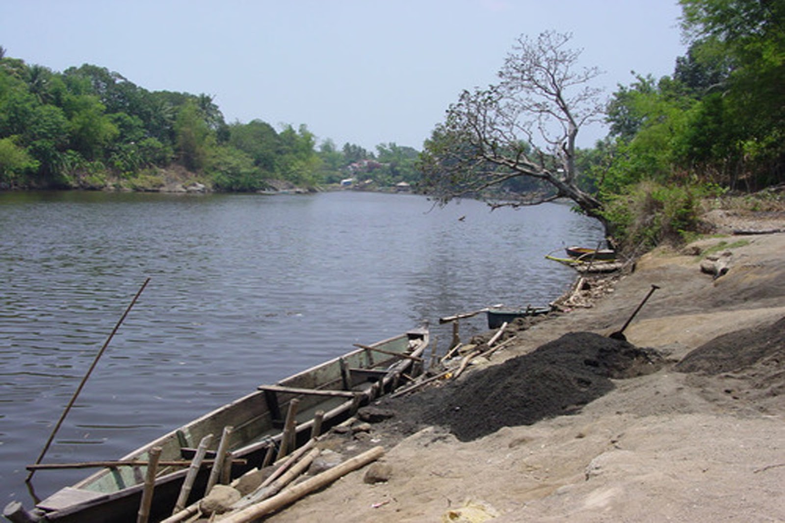
Maragondon River, a good place for picnics and swimming


The proposed site of Maragondon Bulk Water Supply Project


Sagbat Bridge

Rock formations at the River Beds

East Side

West Side


Pasong Buwaya
Along Bucal 1 - Caingin (via Pulong Ipot Route)

The River (Left/East Side) flows from Bucal 2

The River (Right/West Side) flows to Bucal 1/Caingin

The River (Left/East Side) flows from Bucal 2
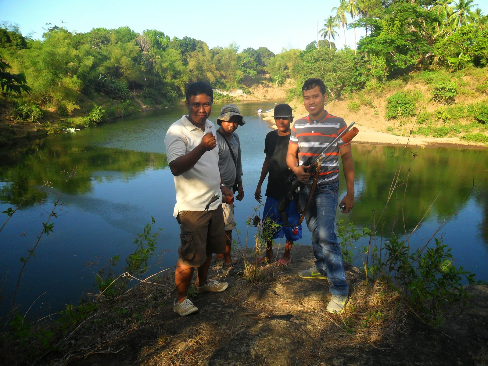
Fishing is at ease...

With beautiful rock formations

With Maragondon Councilor Lawrence "Umbe" Arca

A boat transporting its materials to the other side
Along Caingin - Pinagsanhan-B (via Caingin Hanging Bridge)

East Side

West Side

Caingin Hanging Bridge Abutment

Floating Balsa

The owner of the Floating Balsa (Advertisement)
for reservation, please contact them

Caingin Hanging Bridge (the link going to Mount Buntis)

Caingin Hanging Bridge Marker (as constructed since 1999)
Along Poblacion 1-A (San Nicolas)- Pinagsanhan-A (via Pinagsanhan Hanging Bridge)


Pinagsanhan Hanging Bridge


Pinagsanhan Hanging Bridge (the link going to Mount Nagpatong, etc.)


Maragondon River (as seen at Pinagsanhan Hanging Bridge)
Along Poblacion 1-A (San Nicolas) going to Ternate

Rock formations (near Mabacao Bridge)